| |
Canku Ota
|
|
|
(Many Paths)
|
||
|
An Online Newsletter
Celebrating Native America
|
||
|
July 2015 - Volume 13
Number 7
|
||
|
|
||
|
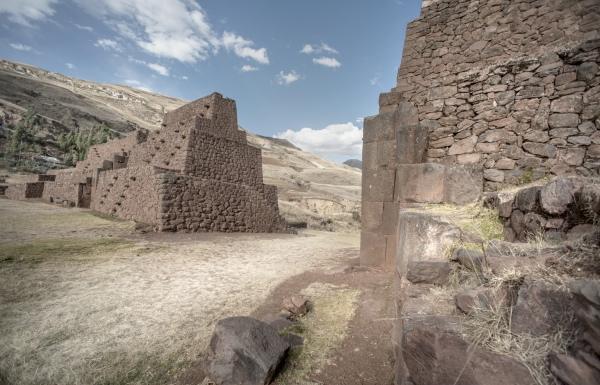
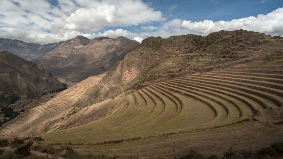
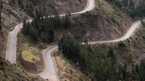
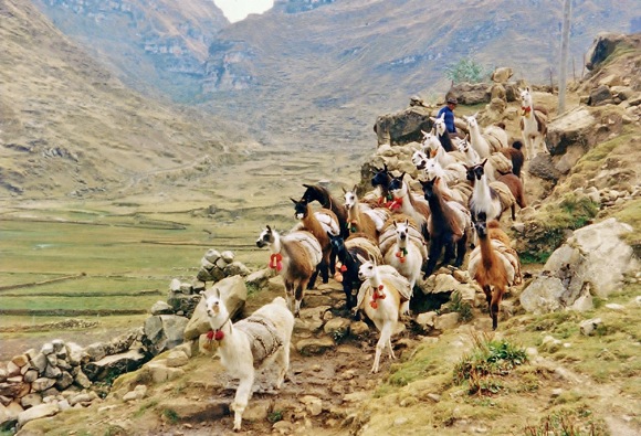
Twenty Stunning Views
Along The Great Inka Road
|
||
|
by Indian Country Today
Media Network Staff
|
||
|
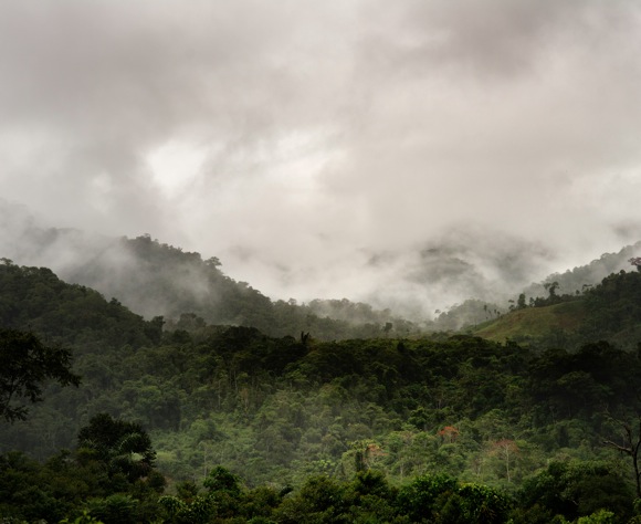
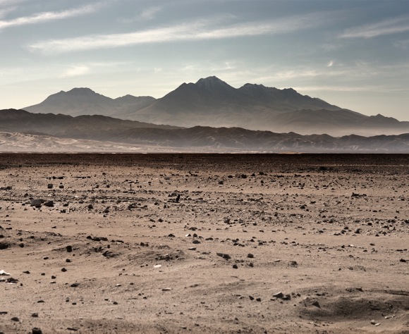
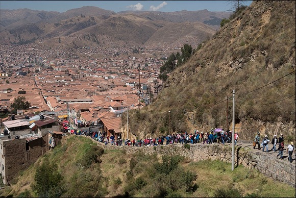
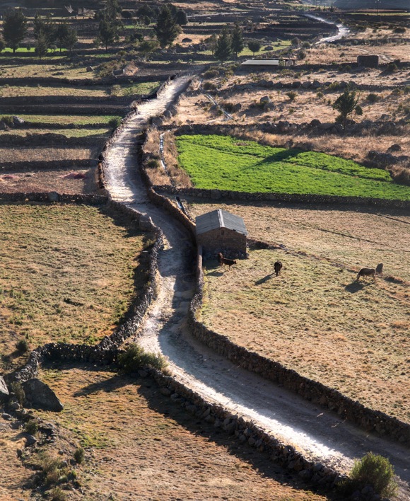
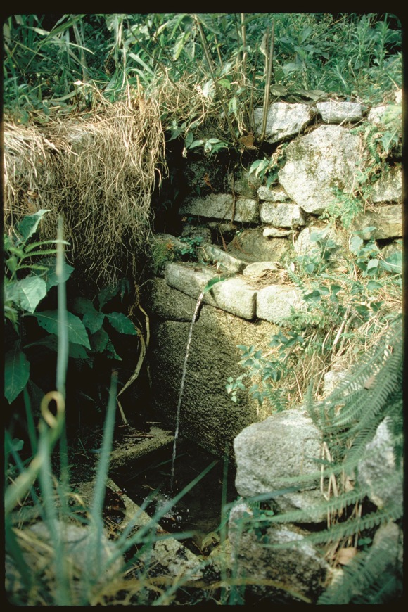
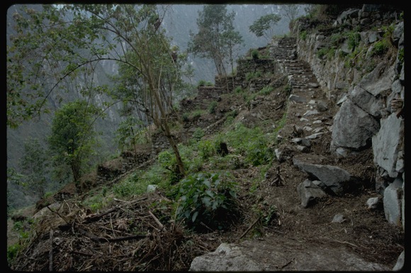
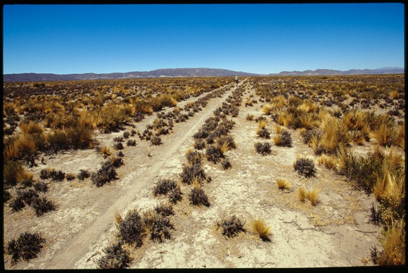
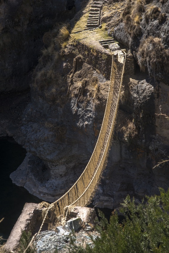
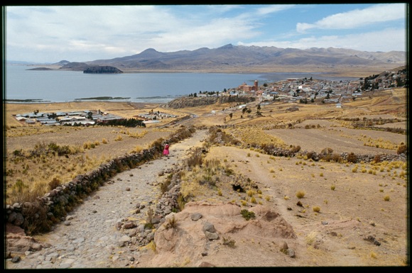
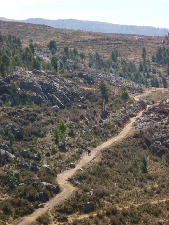
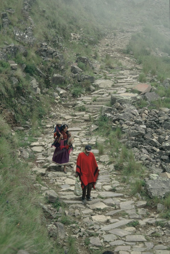
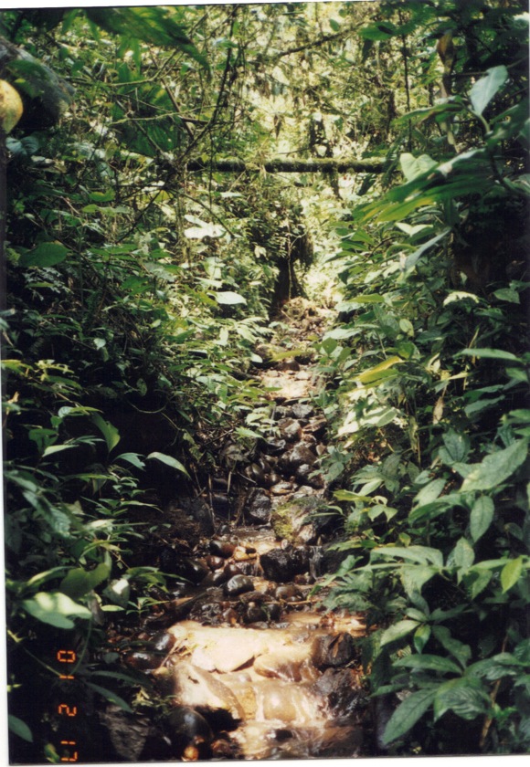
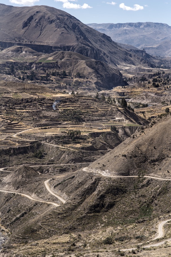
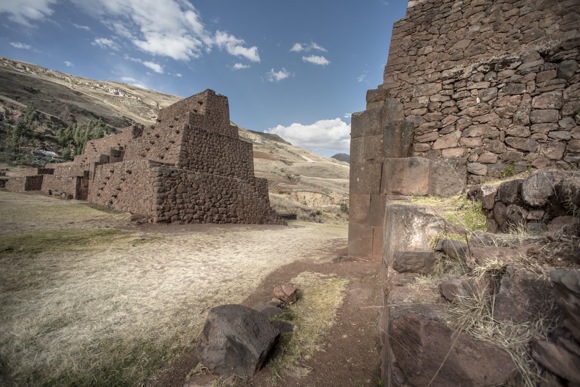
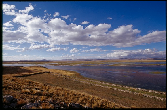
The Inka Road stretches over 24,000 miles through six modern-day countries: Colombia, Ecuador, Peru, Bolivia, Argentina, and Chile. It stands among the great feats of engineering in world history, serving as a network that linked Cusco (in modern-day Peru) with the far reaches of the Inka empire. The Inka road ranges over mountains, tropical lowlands, rivers and deserts and is still crucial in uniting contemporary Andean communities.
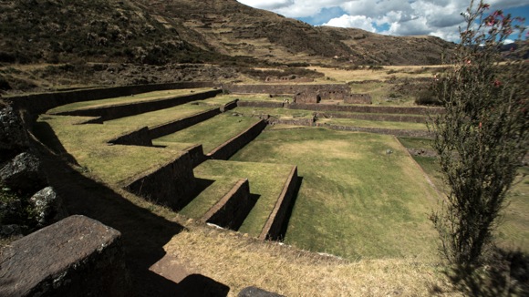
On Friday, June 26, the National Museum of the American Indian in Washington, DC, will open the exhibition "The Great Inka Road: Engineering an Empire," which will tell the historical and cultural story of the Inka Road from its beginnings in early Andean cultures to its significance to the Inka Empire and its use in the modern era. The experience features over 140 objects, the oldest being a ceramic Chavín stirrup spout bottle dating from ca. 800–100 B.C., numerous videos and a wealth of photography. (Editor's note: Some readers have asked—why "Inka"? Isn't it spelled "Inca"? Although "Inca" is traditional and more prevalent, the use of "Inka" is gaining acceptance as a more accurate transliteration, as the National Geographic Style Guide notes. The NMAI scholars who organized this exhibit and wrote the accompanying book have chosen to use the new spelling, and in this case we're following their lead.)
The pictures and information are collected in the book The Great Inka Road: Engineering an Empire, edited by Ramiro Matos Mendieta (Quechua) and José Barreiro (Taíno), available at the NMAI store.
The
Great Inka Road |
|||||||||||||||||||||||||||||||||||||||||||||||||||||||||
|
|
||
|
|
||
|
|
||
|
|
||
| Canku Ota is a free Newsletter celebrating Native America, its traditions and accomplishments . We do not provide subscriber or visitor names to anyone. Some articles presented in Canku Ota may contain copyright material. We have received appropriate permissions for republishing any articles. Material appearing here is distributed without profit or monetary gain to those who have expressed an interest. This is in accordance with Title 17 U.S.C. Section 107. | ||
|
Canku Ota is a copyright ©
2000 - 2015 of Vicki Williams Barry and Paul Barry.
|
||
| |
|
|
|
The "Canku
Ota - A Newsletter Celebrating Native America" web site and
its design is the
|
||
|
Copyright ©
1999 - 2015 of Paul C. Barry.
|
||
|
All Rights Reserved.
|
||